Location: 17°45’18.19″N 64°41’39.78″W
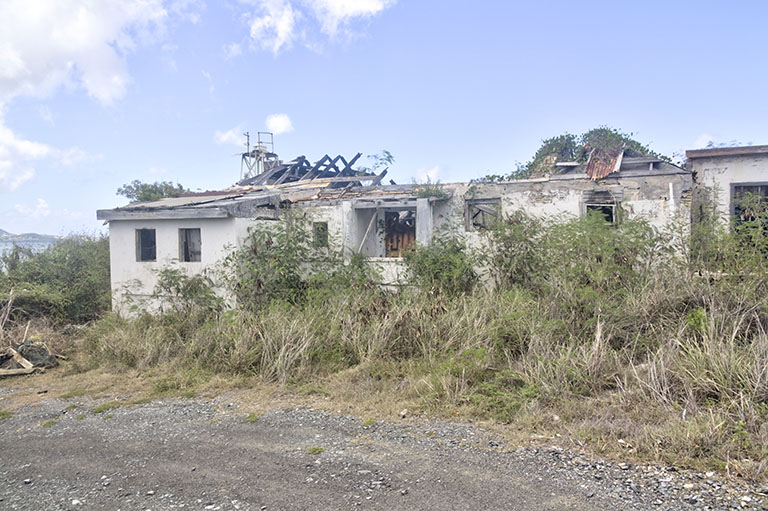
I thought a good follow-up to my post on Protestant Cay would be one about Fort Louise Augusta. I shared a link to a St. Croix Source article from 2021, but I wanted to explore it myself. Driving along the Bypass, past Gallows Bay, the ferry terminal, and St. Croix Marina, I arrived at Altona Lagoon Park. I crossed the temporary bridge installed by VI Paving and veered right, following the road around the park loop, then ascended the dirt driveway leading up the hill to the old fort site.
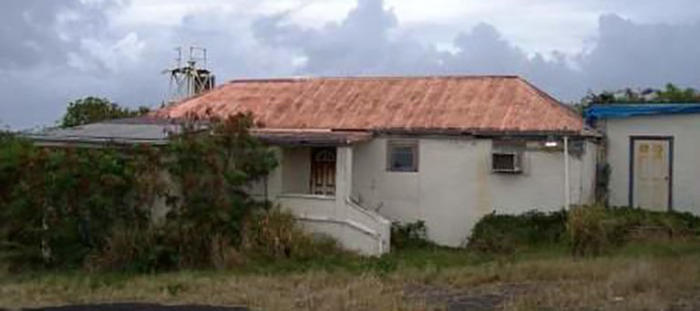
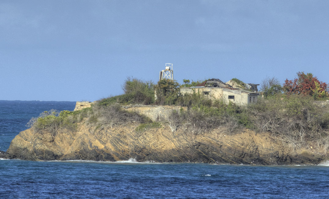
The building has visibly deteriorated since the port authority photo taken in 2008, which was 15 years ago. Although it was last used as a radio station, the article refers to it as the barracks, and its construction prominently features Flensburg bricks.
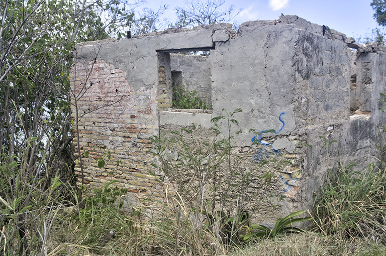
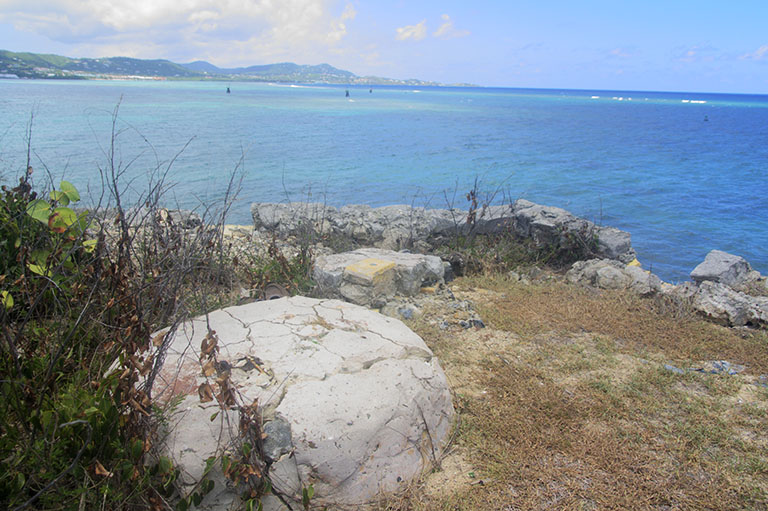
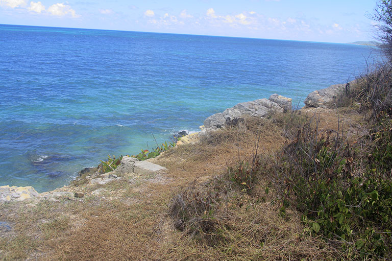
I plan to return when the weather has cooled down a bit (it’s currently 90°F, feels like 101°F). If you take the path to the left of the building, it leads to an overlook where you can see the remains of stone construction. However, I doubt that these are the old fortifications; I believe they are located below the barracks on the left. Despite being alone, I felt that venturing on a slope through the bush was a bit risky.
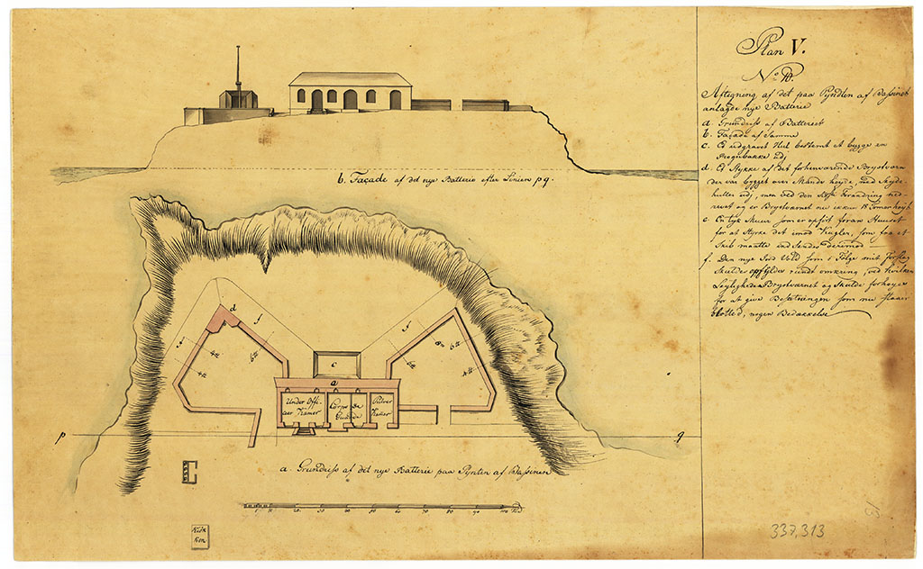
The Oxholm map of Ft. Louise Augusta shows the location of the cannons :- 3, 4-pounders; 3, 6-pounders and 1, 8-pounder, providing crossfire coverage of the harbour with Protestant Cay and Ft Christiansvaern.
By comparison in terms of size, according to Oxholm, Fort Christiansvaern was equipped with 4 pound, 6 pound, 8 pound, 12 pound and 18 pound cannons.
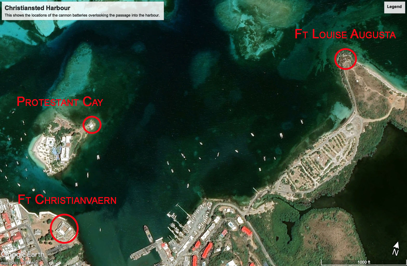
View of Christiansted Harbour showing the locations of the cannon batteries