Location: 17°45’30.32″N 64°45’39.49″W
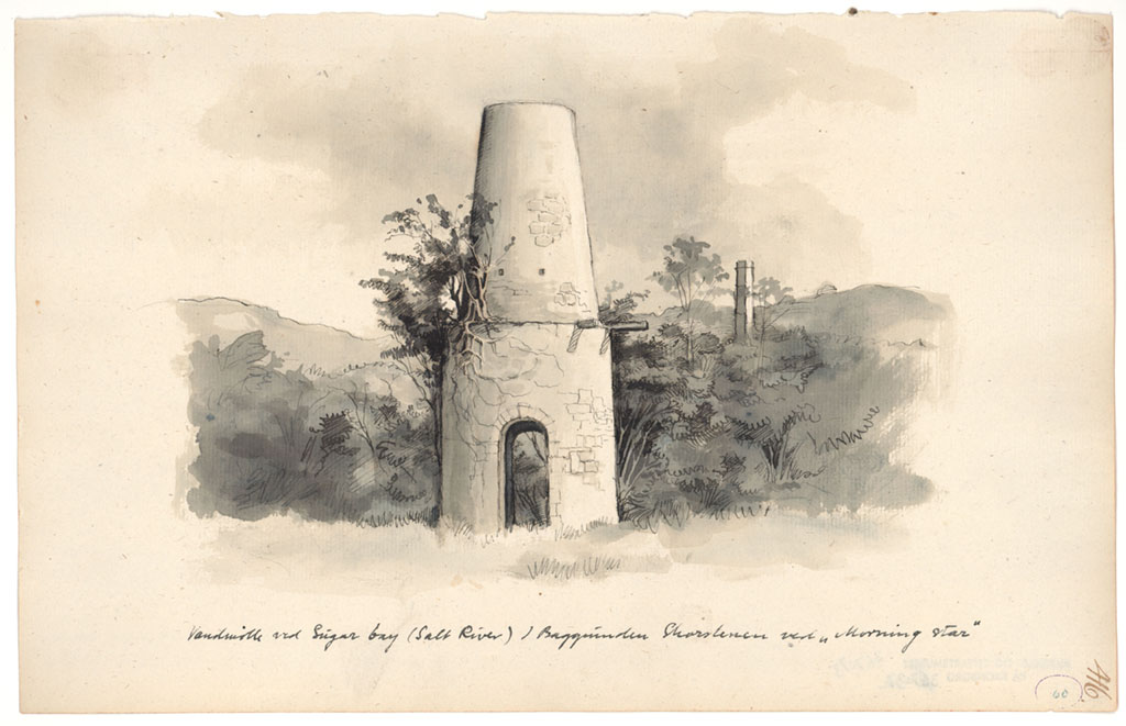
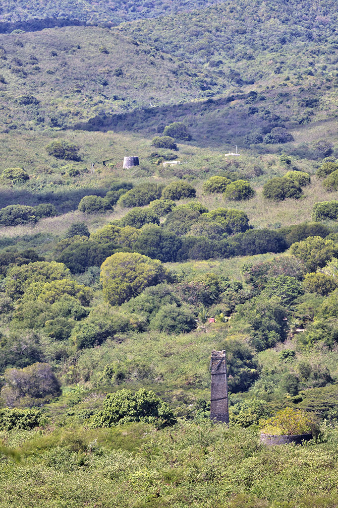
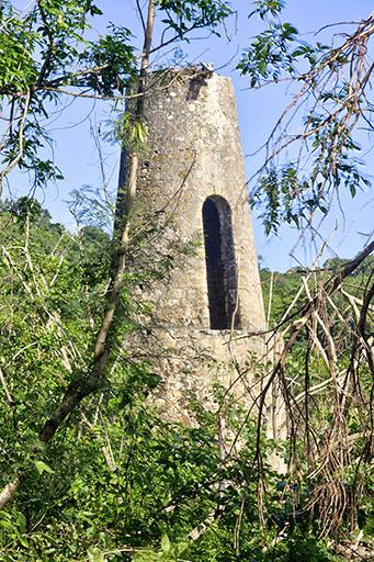
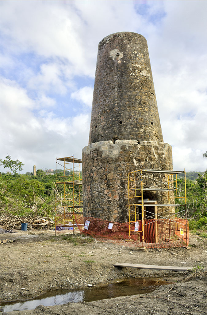
View from the driveway showing the chimney in the foreground, and the sugar windmill in the distance. It bridges quarters Queen and Northside B. It spans Northside road and North Shore road at Salt River.
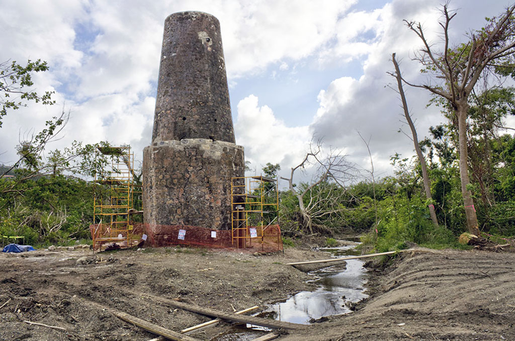
The chimney indicates the presence of the boiling house and is at an elevation of about 135 feet. The water windmill that supplied the boiling house is located on Salt River and has recently (in 2019) been recovered from the bush, and there is a small parking area and access pathway in the vicinity of the junction of North Shore road and Scenic Road for visitors (use bug spray).
Water Windmill: 17°45’38.51″N 64°45’48.02″W (copy and paste into Google Earth).
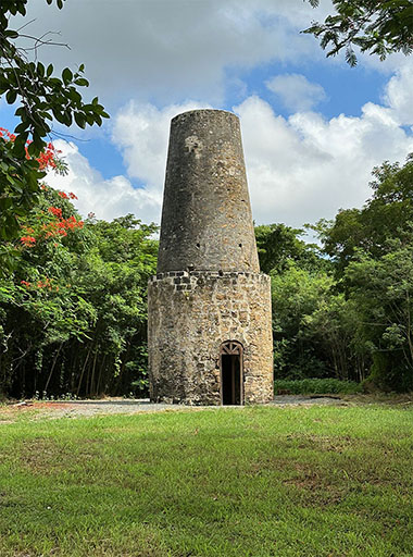
The first photo of the water windmill was taken in January 2018, prior to the bush being cleared. The second was taken in February 2018 when the mill and grounds were being repaired and prepared – notice the MorningStar Chimney to the left in the background. The picture of the finished work was taken in August 2023. The last photo was also taken in 2018, and shows the flowing water of Salt River.